3D Laser Scanning Services
What Is 3D Laser Scanning Services?
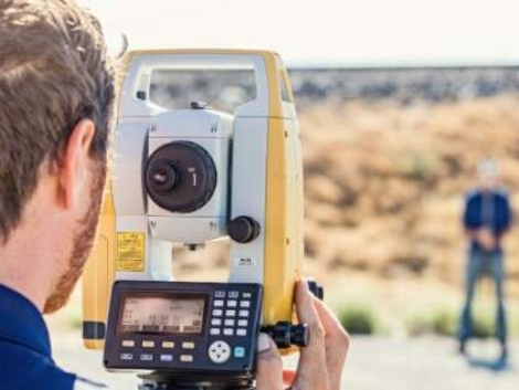
3D Laser Scanning is a high-precision, non-contact surveying method that captures millions of data points—known as a point cloud—to create an accurate, three-dimensional digital representation of a physical environment or structure.
Using state-of-the-art laser scanners, we can record every visible detail of a space with millimeter accuracy. From intricate building facades to industrial facilities and terrain models, this method gives you a complete digital twin of your project site.
Why Choose 3D Laser Scanning?
Traditional measurement methods can’t match the speed, detail, and safety of laser scanning. 3D scanning provides a faster, more accurate, and cost-effective way to capture site conditions, detect design discrepancies, and eliminate rework.
Benefits of 3D Laser Scanning:
Millimeter-level accuracy
Rapid data collection, even in hard-to-access areas
Reduces errors and costly surprises in the field
Enables clash detection in BIM models
Improves collaboration with digital data sharing
🔎 Build smarter with detailed insight.
📋 Book a site visit and take the first step toward flawless execution.
Our Process
Accurate. Thorough. Reliable.
We combine modern surveying technology with decades of experience to deliver detailed and accurate results.
Here’s how we do it:
Deed Research: In-depth examination of your deed and those of neighboring properties.
Monument Location: Locating or setting corner markers (pipes, rebar, posts, etc.).
Field Traverse: Measuring distances and angles to confirm or correct property lines.
Drawing & Documentation: A professionally prepared survey drawing with legal descriptions and boundary details.
Advisory Support: Floodplain assessments, subdivision guidance, and resolution of encroachments.

Deliverables You Can Use Immediately
Our deliverables are engineered to integrate directly into your design and construction process. You’ll receive:
Colorized Point Clouds in .rcp/.e57/.las formats
2D CAD Drawings (floor plans, elevations, sections)
3D Revit or BIM Models for integration into your project pipeline
Deviation Reports to verify as-built conditions vs. design
Whether you’re planning, building, restoring, or documenting, our 3D scanning services deliver speed, clarity, and control.
✅ From raw scans to refined models.
BLOgs & NEWS
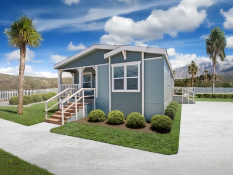
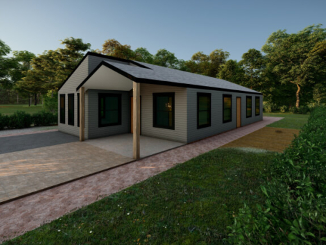
Tiny homes are not just a trend, they’re a movement… when done right!
From cost-conscious first-time buyers to minimalists seeking simpler living, the demand for compact, efficient housing has exploded across the U.S. And Al ...
Skipping Phase 1 and Phase 2 Engineering? Here’s Why That Could Be a Six-Figure Mistake in Alabama
You’ve got land in Alabama and a vision—maybe a residential subdivision, a commercial build, or a mixed-use project that could transform a corner of your count ...
Tiny Homes, Big Headaches: The Regulatory Roadblocks Killing Small-Scale Projects in Alabama
Tiny homes are not just a trend—they’re a movement. From cost-conscious first-time buyers to minimalists seeking simpler living, the demand for compact, eff ...
What’s Actually Allowed On Your Alabama Land? Zoning May Say Otherwise
You bought land. It’s yours. So naturally, you can do what you want with it, build a few homes, maybe a shop, or even that tiny home village you’ve been dreami ...


