FLOOD ELEVATION CERTIFICATE
Are You at Risk of Flooding?
Flood risks aren’t always obvious—many areas in Alabama, including Auburn, Opelika, Elmore, Tallapoosa, and Coosa Counties, have recently updated FEMA Flood Insurance Rate Maps (FIRMs). These maps determine your property’s flood risk based on the 1% annual chance flood, also known as the Base Flood Elevation (BFE).
Not sure if you’re in a flood zone? Let’s find out.
Why You Need an Elevation Certificate
An Elevation Certificate is essential if:
You’re shown in or near a Special Flood Hazard Area (SFHA)
Your mortgage company requires flood insurance
You want to lower your flood insurance premiums
You’re applying for a LOMA to remove the flood insurance requirement
Mortgage companies often require flood insurance for homes in SFHAs, but with an accurate elevation survey, you may qualify for lower rates—or even exemption.
▶️ Save money and reduce risk. Request A Quote »
What to Expect During the Survey
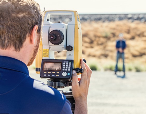
When you request a flood elevation certificate, a licensed surveyor from USA Surveying & Engineering will:
Measure the Lowest Adjacent Grade (LAG)
Record your Finished Floor Elevation (FFE)
Compare your structure’s elevation to the FEMA BFE
Provide documentation that helps insurers accurately rate your policy
If you’re above the BFE, you could significantly lower your flood insurance premiums—or avoid the policy entirely.

Act Before the Next Storm
Over a 30-year mortgage, you have a 26% chance of experiencing a flood that exceeds the BFE—even if you’ve never seen water near your home.
Don’t wait until after the damage. Whether you’re refinancing, building, or simply being proactive, now is the time to act.
Protect your home and wallet.
BLOgs & NEWS
Tiny homes are not just a trend, they’re a movement… when done right!
From cost-conscious first-time buyers to minimalists seeking simpler living, the demand for compact, efficient housing has exploded across the U.S. And Al ...
Skipping Phase 1 and Phase 2 Engineering? Here’s Why That Could Be a Six-Figure Mistake in Alabama
You’ve got land in Alabama and a vision—maybe a residential subdivision, a commercial build, or a mixed-use project that could transform a corner of your count ...
Tiny Homes, Big Headaches: The Regulatory Roadblocks Killing Small-Scale Projects in Alabama
Tiny homes are not just a trend—they’re a movement. From cost-conscious first-time buyers to minimalists seeking simpler living, the demand for compact, eff ...
What’s Actually Allowed On Your Alabama Land? Zoning May Say Otherwise
You bought land. It’s yours. So naturally, you can do what you want with it, build a few homes, maybe a shop, or even that tiny home village you’ve been dreami ...


