
Failing to identify and document wetlands on your site can delay your project, increase costs, or even lead to legal issues. A Phase 2 Wetland Delineation ensures you know exactly where you can build—and where you can’t.
This phase is required by state and federal agencies before land-altering activities can occur. Our delineations help you:
Avoid unintentional regulatory violations
Determine buffer zones and setbacks
Support Clean Water Act Section 404/401 permitting
Understand the environmental constraints of your site
 Don’t risk your permits or timelines.
 Book a regulatory-compliant delineation before you develop.
What Are The Proactive Power of Feasibility Studies?
A feasibility study provides decision-makers with the information they need to make informed choices about a project. It provides a clear picture of the project’s potential, including its financial viability, market demand, and technical feasibility. This information allows stakeholders to weigh the pros and cons of the project and make a rational decision about whether or not to proceed.

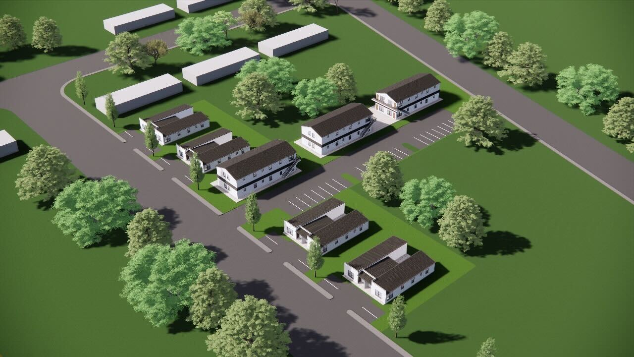
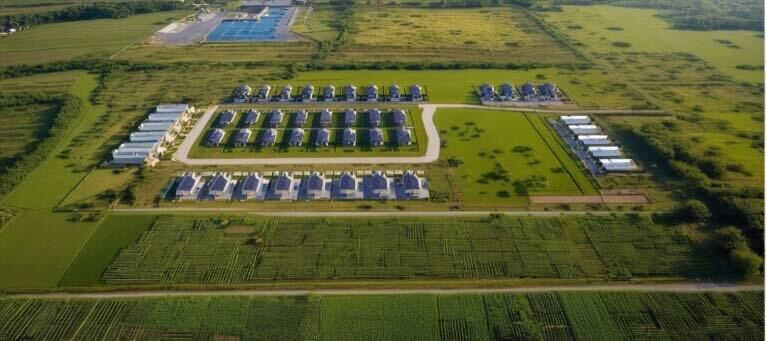
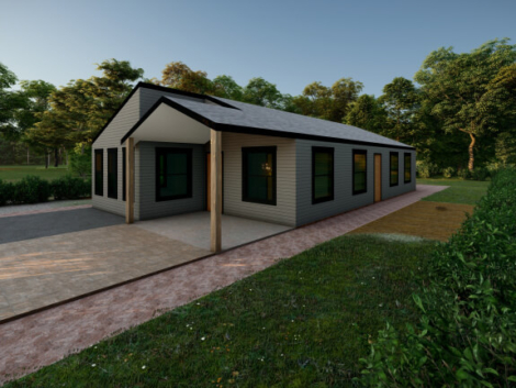
Tiny homes are not just a trend, they’re a movement… when done right!
From cost-conscious first-time buyers to minimalists seeking simpler living, the demand for compact, efficient housing has exploded across the U.S. And Al ...
Skipping Phase 1 and Phase 2 Engineering? Here’s Why That Could Be a Six-Figure Mistake in Alabama
You’ve got land in Alabama and a vision—maybe a residential subdivision, a commercial build, or a mixed-use project that could transform a corner of your count ...

Tiny Homes, Big Headaches: The Regulatory Roadblocks Killing Small-Scale Projects in Alabama
Tiny homes are not just a trend—they’re a movement. From cost-conscious first-time buyers to minimalists seeking simpler living, the demand for compact, eff ...