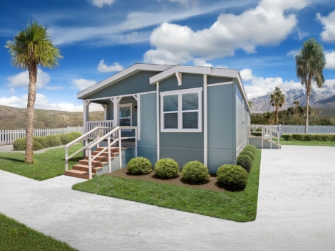
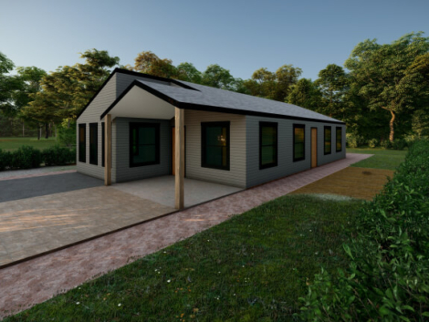
From cost-conscious first-time buyers to minimalists seeking simpler living, the demand for compact, efficient housing has exploded across the U.S. And Al ...
Crafted Services for Bold Ambitions
From strategy to execution, our wide range of services is designed to meet your unique needs and deliver real, measurable impact. Whether you're looking to elevate your brand, streamline operations, or drive growth, we’re here to help you succeed—every step of the way.
We Are Offering
Surveying Services
Topographic Survey / topo Survey
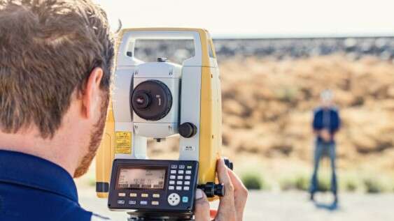
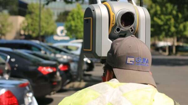
3d laser scanning services
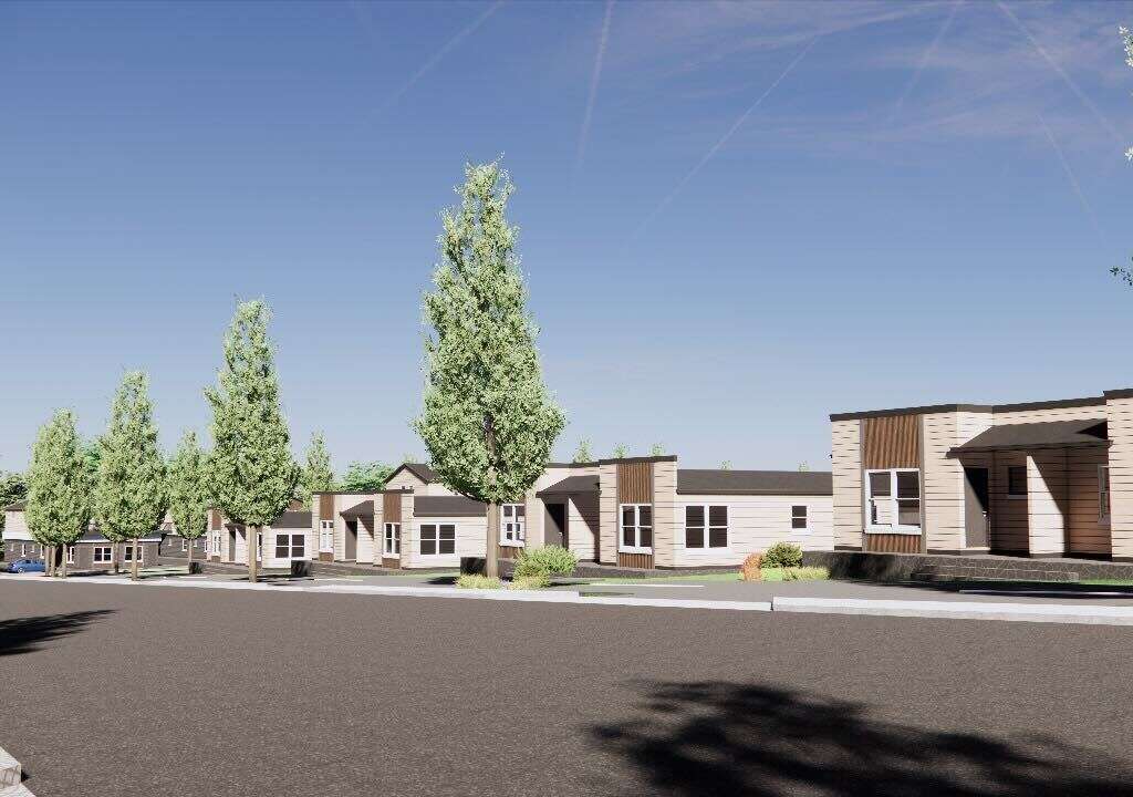
boundary surveying

Phase 1 land planning Services

Construction surveying

flood elevation certificate
Other Services We are Offering
Engineering Services
We deliver innovative and practical engineering solutions tailored to your project’s needs. From planning to execution, our expertise ensures safety, efficiency, and precision.
Phase 1 Land Planning
We map the natural and man-made features of your land, including elevations, contours, and utilities. Essential for planning, engineering, and site design.
Phase 2 Wetland Delineations
We conduct detailed Phase 2 wetland delineations to identify and classify wetland areas. Our assessments comply with regulatory standards and guide environmentally responsible development. Essential for permitting, land use planning, and ecological impact assessments.
GPS/GIS Mapping Services
We provide accurate GPS and GIS mapping to support planning, analysis, and decision-making. Our team collects and visualizes spatial data tailored to your project requirements. Ideal for land management, infrastructure development, and environmental studies.
Feasibility Studies services
Master land planning services
About This Service
Our Master Land Planning services provide a comprehensive approach to transforming land into purposeful, functional, and sustainable developments. We analyze site potential, zoning regulations, infrastructure, and environmental factors to guide smart, strategic decisions. From residential communities to commercial hubs, we create plans that balance vision with feasibility. Our process includes land use analysis, circulation planning, and integration of green spaces. Collaboration with stakeholders ensures alignment with economic goals and community needs. The result is a clear, actionable plan that sets the foundation for long-term success
We Are Ready !
Are "you" Ready to Get Started?
Let’s turn your vision into reality with expert solutions tailored to your needs.
Contact us today to schedule a consultation and see how we can add value to your next project.
Your goals. Our expertise. Let’s build something great—together.
Skipping Phase 1 and Phase 2 Engineering? Here’s Why That Could Be a Six-Figure Mistake in Alabama
You’ve got land in Alabama and a vision—maybe a residential subdivision, a commercial build, or a mixed-use project that could transform a corner of your count ...
Tiny Homes, Big Headaches: The Regulatory Roadblocks Killing Small-Scale Projects in Alabama
Tiny homes are not just a trend—they’re a movement. From cost-conscious first-time buyers to minimalists seeking simpler living, the demand for compact, eff ...
What’s Actually Allowed On Your Alabama Land? Zoning May Say Otherwise
You bought land. It’s yours. So naturally, you can do what you want with it, build a few homes, maybe a shop, or even that tiny home village you’ve been dreami ...

